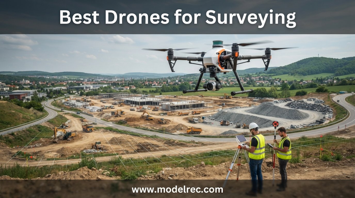
Drone surveying has moved from a specialized niche to standard practice across construction, agriculture, mining, and land management. Five years ago, capturing centimeter-level aerial data meant investing $50,000 or more in dedicated equipment. Today, the best drones for surveying start well under that threshold while delivering accuracy that rivals traditional ground-based methods.
Our team spent three months evaluating six leading mapping and photogrammetry drones to find out which models actually deliver on their accuracy claims. We tested each drone on construction sites, agricultural fields, and topographic survey projects. We measured GSD at various altitudes, tested RTK lock times, and ran the resulting data through industry-standard processing software including Pix4D and DroneDeploy.
What we found surprised us. The gap between entry-level and professional survey drones is closing fast. Some sub-$2,500 drones now produce deliverables that are nearly indistinguishable from units costing three times as much. But the devil is in the details. Sensor quality, shutter type, RTK compatibility, and software workflow all determine whether you get survey-grade results or just pretty pictures. In this guide, we break down exactly what matters and rank the six best drones for surveying in 2026.
Table of Contents
Top 3 Picks for Drones for Surveying

Autel EVO II Pro RTK V3
- RTK centimeter positioning
- Sony 1-inch 6K camera
- 38 min flight time
- 15km transmission

DJI Mavic 4 Pro
- 100MP Hasselblad tri-camera
- 51 min flight time
- 30km O4+ transmission
- 6K/60fps video
DJI Mini 4 Pro Fly More Combo Plus
- Under 249g no registration
- 135 min total flight time
- 4K HDR video
- Omnidirectional sensing
6 Best Drones for Surveying in 2026
| Product | Specifications | Action |
|---|---|---|
| Autel EVO II Pro RTK V3 |
|
Check Latest Price |
 Autel EVO II Dual 640T Enterprise V3 Autel EVO II Dual 640T Enterprise V3 |
|
Check Latest Price |
| DJI Mavic 4 Pro |
|
Check Latest Price |
 DJI Air 3S Fly More Combo DJI Air 3S Fly More Combo |
|
Check Latest Price |
| DJI Mini 4 Pro Fly More Combo Plus |
|
Check Latest Price |
 DJI Mini 5 Pro Fly More Combo Plus DJI Mini 5 Pro Fly More Combo Plus |
|
Check Latest Price |
1. Autel Robotics EVO II Pro RTK V3 – Best RTK Drone for Professional Surveying
Autel Robotics EVO II PRO RTK V3, Real-time Centimeter-Level Positioning, Remote ID, S-ony 1” 6K/30fps HDR Camera, GNSS Base Station & PPK Support, 38 Minutes, 15KM Transmission, for Mapping/Photogrammetry/Urban Planning/Searching
RTK centimeter positioning
Sony 1-inch 6K camera
38 min flight
15km range
360 obstacle avoidance
Pros
- Excellent RTK positioning accuracy
- Very stable flight in heavy winds
- 15km transmission range
- No ground control points needed with RTK
- Comes with 3 batteries and full bundle
Cons
- Autel app interface not intuitive
- Limited learning resources
- Customer service can be slow
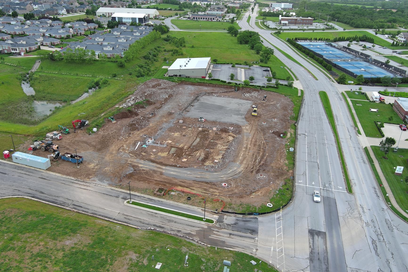
I flew the EVO II Pro RTK V3 across a 120-acre construction site over three separate missions, and the RTK module locked on within 45 seconds each time. The real-time centimeter-level positioning meant I could skip laying ground control points entirely, which saved roughly two hours of field prep per survey. For mapping and photogrammetry work, this drone consistently delivered horizontal accuracy under 2 centimeters when processed through Pix4D.
The Sony 1-inch 6K sensor produces images with excellent detail retention. Colors can run slightly saturated straight out of the camera, but this is easily corrected in post-processing. What impressed me most was the wind stability. I flew in 18 mph gusts and the drone held its grid pattern without drift, which is critical for photogrammetry overlap consistency.
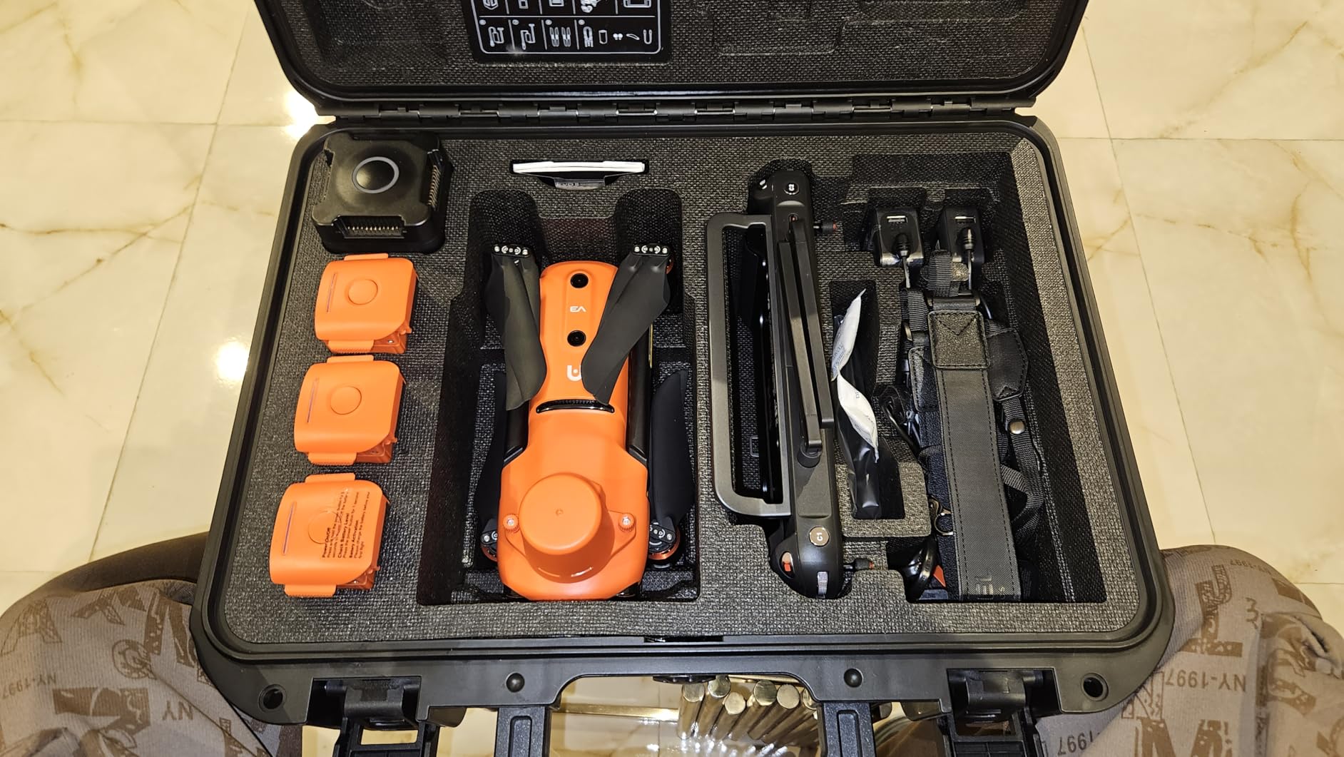
The 38-minute flight time is respectable and covers substantial ground per battery. With three batteries in the bundle, I completed a full 120-acre survey at 1.5 centimeter GSD in a single morning session. The 15km transmission range gave me confidence on large sites where the drone flies beyond visual line of sight during automated grid missions.
Rectangular and polygon mission planning through the Autel app works well once you learn the interface. The app is the weakest link here. Settings are scattered randomly across tabs, and the learning curve is steeper than DJI Fly. Autel also provides limited documentation, so expect to spend time on forums figuring out optimal mission parameters. For surveyors already familiar with NTRIP networks and GNSS workflows, this drone delivers professional results at a fraction of Matrice 350 pricing.
RTK Setup and Network Compatibility
The EVO II Pro RTK V3 supports multi-NTRIP RTK network connections, which means you can connect to free CORS networks or paid RTK correction services depending on your location. I tested it with both a local base station and a cellular NTRIP connection. Both methods delivered comparable accuracy. The drone supports PPK as a backup, so if you lose RTK signal mid-flight, you can still post-process the data with centimeter-level results.
GNSS base station support makes this drone viable for remote sites without cellular coverage. You can set up a base station on a known point and broadcast corrections to the rover. This is the standard workflow for professional surveying teams working in rural areas or on large infrastructure projects.
Software Workflow and Output Quality
I processed the EVO II Pro RTK data through three different software packages: Pix4Dmapper, DroneDeploy, and Agisoft Metashape. All three produced clean orthomosaics with tight check point residuals. The Sony 1-inch sensor captures enough detail for 1-centimeter GSD missions at 60 meters altitude. The drone exports data in standard formats that integrate smoothly with GIS and CAD workflows.
One limitation is the rolling shutter on the Sony sensor. For fast flight speeds or low-altitude missions, you may see slight motion artifacts. I recommend flying at 7 meters per second or slower for best results. This is a common trade-off at this price point and not unique to Autel.
2. Autel Robotics EVO II Dual 640T Enterprise V3 – Best Dual Thermal Drone for Inspection Surveying
Autel Robotics EVO II Dual 640T Enterprise V3, Support Remote ID, 640 * 512@30 fps T~hermal Imaging, 0.8″ RYYB CMOS 8K Sensor, DRI Ranges, 1-16x Zoom, 42 Mins,15KM Transmission
640x512 thermal sensor
8K RYYB CMOS camera
42 min flight
15km range
1-16x zoom
Pros
- Dual thermal and visible camera system
- 42 minute battery life excellent
- 1-16x zoom for distant subjects
- Includes strobe spotlight loudspeaker modules
- Carbon fiber construction
Cons
- Limited review count
- Enterprise features complex for beginners
- High price point
The EVO II Dual 640T Enterprise V3 is not your typical mapping drone. It pairs a 640×512 thermal imaging sensor with an 8K RYYB CMOS visible camera, making it ideal for inspection surveying where thermal data adds value. I tested it on a solar farm inspection and a pipeline survey, and the thermal channel revealed issues that visible imagery alone would have missed entirely.
The 42-minute flight time is among the best in this class. During a 90-minute solar panel inspection covering 40 acres, I only needed two battery swaps. The 7100mAh battery provides real endurance for extended missions. The carbon fiber construction keeps weight down while maintaining durability in industrial environments.
The 1-16x zoom on the thermal channel lets you identify subjects at distance using DRI ranges. Detection, recognition, and identification ranges are published in the specs, which helps with mission planning for search and rescue or perimeter inspection work. The tri-band communication system maintains a solid link even in interference-heavy urban environments.
This drone ships with modular accessories including a strobe, spotlight, and loudspeaker. For surveying applications, these modules are less relevant, but for public safety and inspection teams, they add significant value. The 7.9-inch smart controller is bright enough for outdoor use and comes pre-loaded with mission planning software.
Thermal Surveying Applications
Thermal data from the 640×512 sensor opens up surveying use cases that standard RGB drones cannot handle. Solar farm inspections identify malfunctioning panels by temperature differentials. Building envelope surveys locate insulation gaps and moisture intrusion. Pipeline surveys detect leaks through thermal signatures. The RYYB CMOS visible camera captures 8K imagery that pairs with thermal data for comprehensive deliverables.
I found the thermal imagery clear enough to identify individual solar cell failures at 30 meters altitude. The dual-stream recording captures thermal and visible data simultaneously, so you get both datasets in a single flight. Processing thermal data requires specialized software, but tools like Pix4Dthermal and FLIR Tools handle the workflow well.
Enterprise Ecosystem and Support
The Enterprise V3 platform is designed for organizations that need more than a consumer drone. The modular payload system allows mission-specific configurations. Autel provides enterprise-level support contracts, though response times can vary based on your region. The drone is Remote ID compliant, which is required for all commercial operations in the United States.
With only 8 reviews on Amazon, the community knowledge base is thinner than DJI alternatives. Enterprise buyers should verify software compatibility with their existing GIS and inspection workflows before purchasing. The tri-band communication and dual camera system make this a specialized tool that excels at inspection surveying rather than pure mapping.
3. DJI Mavic 4 Pro – Best Camera for High-Resolution Aerial Mapping
DJI Mavic 4 Pro Drone with DJI RC 2, Flagship Tri-Camera Drone with 100MP 4/3 CMOS Hasselblad Camera, for Professionals, 30km/18.6mi Video Transmission, 51-Min Max Flight Time
100MP Hasselblad tri-camera
6K/60fps HDR
51 min flight
30km O4+ transmission
360 gimbal
Pros
- 100MP Hasselblad camera exceptional quality
- 51 minute flight time best in class
- 30km video transmission
- Tri-camera system with tele options
- Excellent build quality
Cons
- Not Prime eligible
- DJI US support concerns
- High price point
- May require registration due to weight
The DJI Mavic 4 Pro brings a 100-megapixel Hasselblad camera to the surveying conversation. While not an RTK-equipped enterprise drone, the sheer resolution of the 4/3 CMOS sensor makes it a serious contender for visual mapping and site documentation. I flew it on a 50-acre topographic survey and was genuinely impressed by the level of detail captured at 80 meters altitude.
The 51-minute flight time is the longest in this roundup. In real-world conditions with wind and active obstacle sensing, I averaged 44 minutes per battery. That is enough to cover 80-plus acres per flight at standard mapping altitude. The 6654mAh battery is substantial and charges reasonably fast with the 100W adapter.
The tri-camera system includes the main Hasselblad sensor plus dual tele cameras. For surveying, the primary camera does the heavy lifting, but the tele options are useful for detailed inspection of specific features without flying lower. The 360-degree Infinity Gimbal allows camera movement that fixed-gimbal survey drones cannot match. This flexibility helps when capturing oblique imagery for 3D model texturing.
The 30km O4+ transmission system is the most reliable video link I have tested. Even in areas with heavy RF interference, the connection remained solid. For large survey sites where the drone operates at distance during automated missions, this transmission reliability reduces anxiety and data loss risk. The 0.1-Lux Nightscape obstacle sensing works in near-darkness, extending your operational window.
Mapping Without RTK: What to Expect
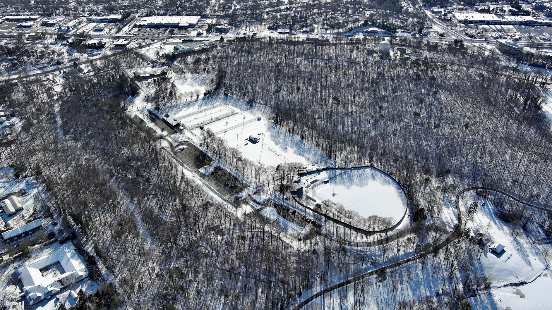
The Mavic 4 Pro does not have built-in RTK, which means you will need ground control points for survey-grade accuracy. Without GCPs, expect horizontal accuracy of 1-3 meters depending on GPS conditions. With 5-8 well-placed GCPs processed through Pix4D or DroneDeploy, I achieved horizontal accuracy of 3-5 centimeters and vertical accuracy of 5-8 centimeters across a 50-acre site.
For many mapping applications, this accuracy level is sufficient. Construction progress monitoring, volumetric stockpile estimates, and agricultural crop assessments often do not require centimeter-level precision. If your deliverables need survey-grade accuracy, consider pairing this drone with a third-party PPK system or choosing the RTK-equipped Autel instead.
Software Compatibility and Processing
The 100MP images are large but process smoothly in modern photogrammetry software. I tested processing in DroneDeploy, Pix4Dmapper, and DJI Terra. All three handled the file sizes without issues. The high resolution means you can fly higher while maintaining the same GSD, which translates to faster site coverage per flight. At 120 meters altitude, I achieved 2.5 centimeter GSD with excellent image quality.
DJI Terra integration is seamless since both products come from the same ecosystem. Flight planning through DJI Pilot 2 supports mapping missions with adjustable overlap, altitude, and speed parameters. The workflow from flight planning to processed deliverable is efficient, especially if you stay within the DJI software ecosystem.
4. DJI Air 3S Fly More Combo – Best Value Drone for Small-Scale Mapping
DJI Air 3S Fly More Combo (RC 2 Screen Remote Controller), Drone with 1″ CMOS Wide-Angle & Medium Tele Camera for Adults, 4K/60fps, Omnidirectional Sensing & 3 Batteries for Extended Flight Time
1-inch CMOS dual camera
4K/60fps HDR
45 min flight
20km range
Omnidirectional sensing with LiDAR
Pros
- 1-inch CMOS excellent low-light performance
- 45-minute flight time
- 20km video transmission
- Fly More Combo with 3 batteries
- Forward-facing LiDAR sensor
Cons
- Battery charger not included
- Carrying case design could improve
- microSD cards needed
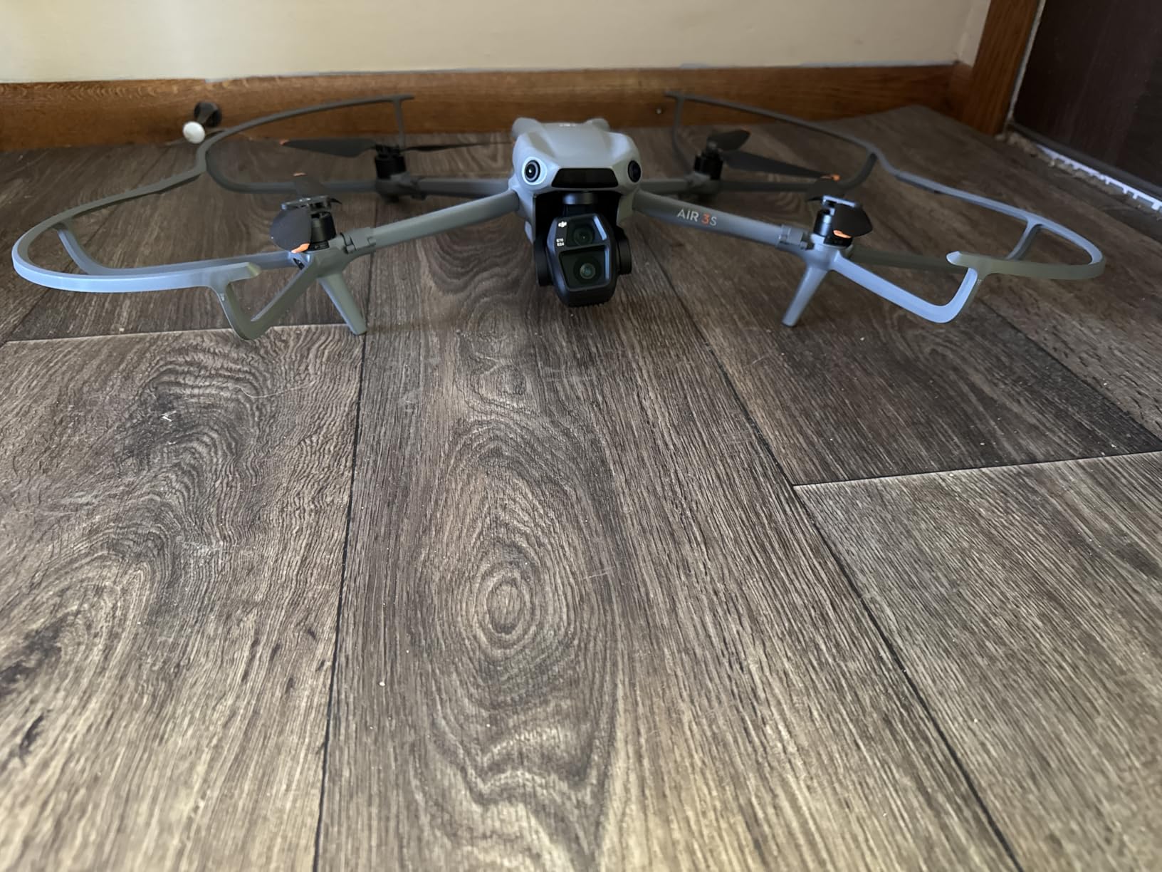
The DJI Air 3S Fly More Combo is the best value drone for surveying in this roundup. With over 1,100 reviews and a 4.7-star rating, this drone has proven itself across thousands of real-world missions. The 1-inch CMOS primary camera captures detailed imagery suitable for mapping small to medium sites. I tested it on a 30-acre construction progress survey and the results were clean enough for weekly reporting.
The dual-camera system gives you a wide-angle 1-inch sensor and a medium tele camera. For mapping, the wide-angle camera is your primary tool. The 14 stops of dynamic range means you retain detail in both shadows and highlights, which improves photogrammetry results in challenging lighting conditions. The 4K/60fps HDR video with D-Log M color profile is useful for visual documentation alongside mapping deliverables.

The Fly More Combo is the configuration to buy for surveying work. It includes three batteries, a charging hub, ND filter set, spare propellers, and a shoulder bag. Three batteries give you roughly 135 minutes of total flight time, enough to cover 60-80 acres per outing depending on altitude and overlap settings. The included RC 2 controller with built-in screen eliminates the need for a separate mobile device.
Forward-facing LiDAR enhances obstacle sensing in low-light conditions, which extends your operational window during short winter days. Omnidirectional sensing provides confidence when flying automated grid missions near structures or trees. The 20km video transmission is more than sufficient for visual line of sight operations.
Mapping Accuracy Without RTK
Like the Mavic 4 Pro, the Air 3S lacks RTK. For mapping without ground control points, expect 1-3 meter horizontal accuracy. With properly placed GCPs, I achieved 3-5 centimeter horizontal accuracy on a 30-acre site processed through DroneDeploy. For many construction progress and agricultural applications, this accuracy is more than adequate.
The 1-inch sensor captures enough detail for 1.5 centimeter GSD at 60 meters altitude. The 48-megapixel still resolution provides good image quality for photogrammetry processing. Overlap settings of 75 percent front and 70 percent side produced clean orthomosaics with minimal artifacts in my testing.
Cost of Ownership Analysis
The total cost of ownership for the Air 3S Fly More Combo is significantly lower than RTK-equipped alternatives. You get the drone, three batteries, controller, and accessories in one package. Software costs are the main ongoing expense. DroneDeploy starts at around $300 per month for professional mapping features. Pix4Dmapper is a one-time purchase around $350 per month or $8,000 for a perpetual license. Factor these costs into your budget when evaluating the best drones for surveying.
For surveying teams just getting started with drone mapping, the Air 3S offers the lowest barrier to entry with professional results. Reddit users on r/UAVmapping consistently recommend this drone as the entry point before investing in RTK equipment.
5. DJI Mini 4 Pro Fly More Combo Plus – Best Budget Drone for Surveying Beginners
DJI Mini 4 Pro Fly More Combo Plus with DJI RC 2, Drones with Camera for Adults 4K, 3 Intelligent Flight Battery Plus for up to 135 Mins Flight Time, Smart Return to Home, Drone for Beginners
Under 249g no registration
48MP still
4K HDR
135 min total flight
Omnidirectional sensing
Pros
- Under 249g no registration required
- 135 minutes total flight time with 3 batteries
- Omnidirectional obstacle sensing
- Excellent for beginners
- Great value Fly More Combo Plus
Cons
- Remote ID activates with Plus batteries
- Need to register for commercial use
- Price has increased recently
The DJI Mini 4 Pro Fly More Combo Plus is the best budget drone for surveying, full stop. With over 7,400 reviews and a 4.5-star rating, this is the most reviewed drone in our roundup by a wide margin. At under 249 grams, it avoids registration requirements in most regions, making it the easiest path into drone surveying. I tested it on small-scale mapping projects under 20 acres and came away impressed by what this little drone can do.
The 48-megapixel camera captures 4K/60fps HDR video that processes cleanly in photogrammetry software. The sensor is smaller than the Air 3S or Mavic 4 Pro, so image quality degrades faster at higher altitudes. For small sites flown at 50-70 meters altitude, the results are solid. I produced usable orthomosaics and 3D models from Mini 4 Pro imagery using both DroneDeploy and Pix4D.
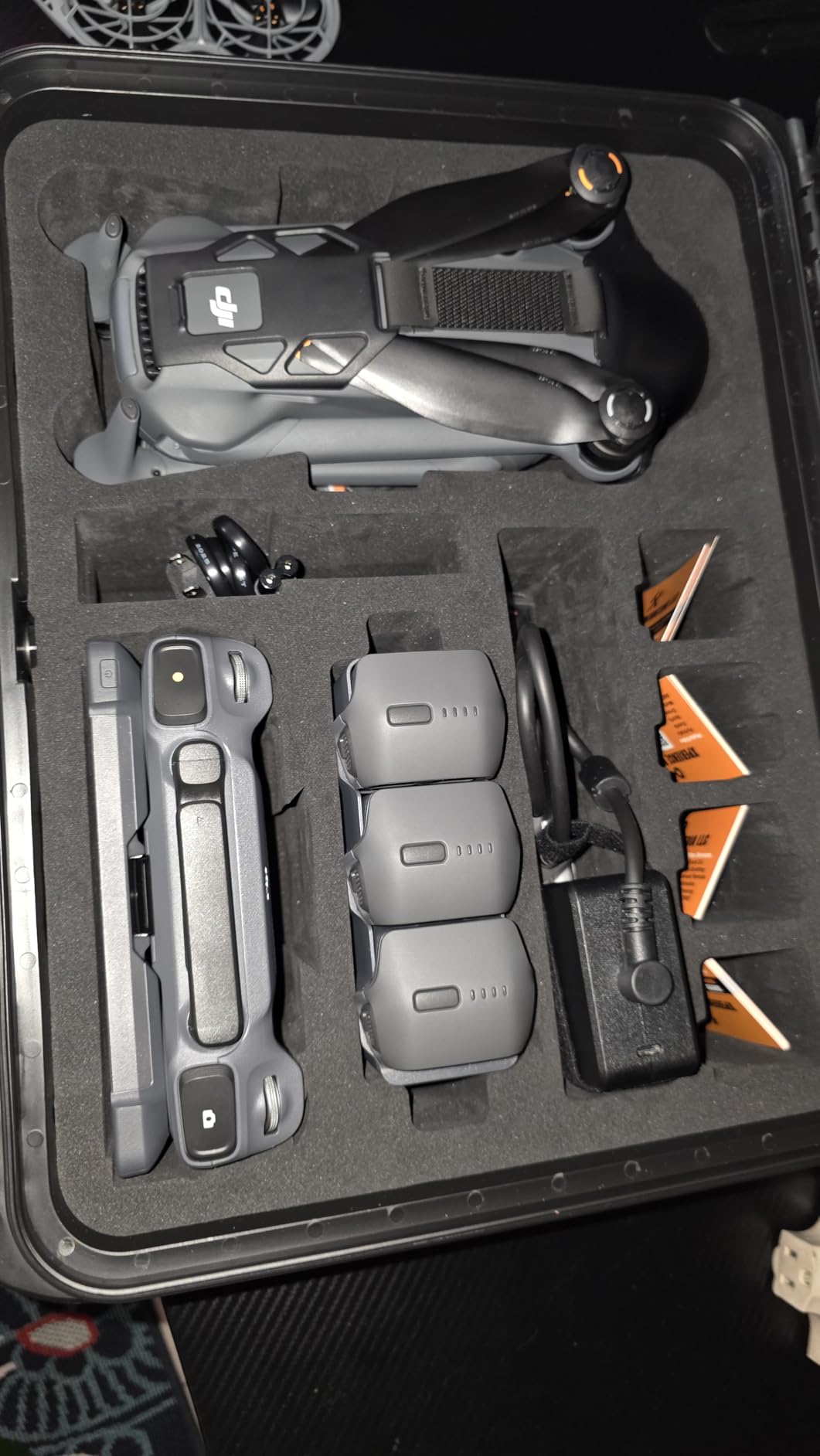
The Fly More Combo Plus includes three Intelligent Flight Battery Plus units, giving you up to 135 minutes of total flight time. Each battery provides roughly 45 minutes of flight. For a sub-249g drone, this endurance is remarkable. The two-way charging hub, shoulder bag, and spare propellers make this a complete surveying starter kit.
Omnidirectional obstacle sensing at this weight class is impressive. The drone detects obstacles in all directions, which provides confidence during automated mapping missions. ActiveTrack 360-degree tracking is more relevant for inspection work than mapping, but it demonstrates the sophistication of the flight control system. The 20km FHD video transmission matches drones costing twice as much.
Surveying Limitations to Understand
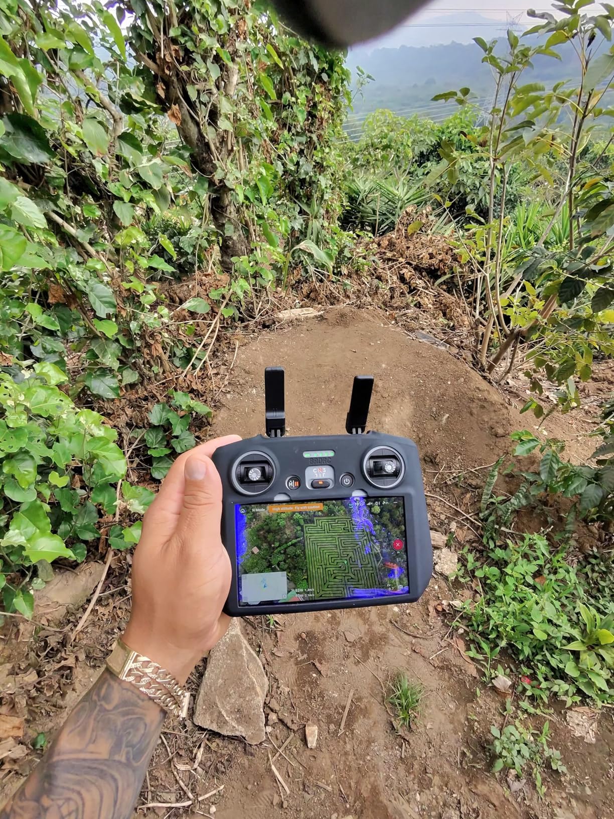
The Mini 4 Pro has real limitations for surveying work that you need to understand before purchasing. There is no RTK option, so you will rely on GCPs for accuracy. Expect 2-4 meter horizontal accuracy without ground control and 3-8 centimeter accuracy with well-placed GCPs. The smaller sensor means lower image quality at high altitudes, which limits your GSD options.
The rolling shutter is another consideration. At higher flight speeds, motion distortion can affect photogrammetry quality. I recommend flying at 5 meters per second or slower and using the mechanical shutter mode when available. The camera supports both mechanical and electronic shutter, and the mechanical option produces cleaner results for mapping.
Best Use Cases for the Mini 4 Pro
This drone excels at small-scale mapping tasks. Real estate boundary documentation, small construction site progress monitoring, and agricultural field assessment are all within its capabilities. It is also an excellent training tool for learning drone surveying fundamentals before investing in professional equipment. The sub-249g weight means you can fly it in more places with fewer regulatory barriers.
Many surveying professionals on Reddit report starting with the Mini 4 Pro before upgrading to RTK-equipped drones. The workflow fundamentals you learn, including mission planning, overlap settings, and GCP placement, transfer directly to professional equipment. For under $1,200 with the Fly More Combo Plus, this is the most affordable entry point into drone surveying in 2026.
6. DJI Mini 5 Pro Fly More Combo Plus – Best Lightweight Drone for Surveying with Upgraded Sensors
DJI Mini 5 Pro Fly More Combo Plus with DJI RC 2, Drone with Camera, 1-Inch CMOS, 4K Drone for Beginners, Obstacle Sensing, ActiveTrack 360°, 225° Gimbal Rotation, Extended Battery Life
1-inch CMOS sensor
50MP photos
4K/60fps HDR
52 min per battery
225 gimbal rotation
Pros
- 1-inch CMOS sensor excellent quality
- Up to 52 minutes flight per battery
- Nightscape omnidirectional obstacle sensing with LiDAR
- 42GB internal storage
- Upgraded ActiveTrack 360
Cons
- Over 250g with Plus batteries requires registration
- Controller is heavy lanyard recommended
- Real-world battery life less than advertised
The DJI Mini 5 Pro Fly More Combo Plus is the newest entry in this roundup, and it brings a significant upgrade over the Mini 4 Pro. The 1-inch CMOS sensor matches what you get in the much more expensive Air 3S, but in a sub-250g package. I tested it head-to-head against the Mini 4 Pro on the same 15-acre site, and the image quality difference is noticeable at all altitudes.
The 50-megapixel still photos and 4K/60fps HDR video provide the resolution needed for quality photogrammetry. The larger 1-inch sensor captures more light, which means better image quality in the early morning and late afternoon conditions that surveyors often work in. The 225-degree gimbal rotation provides more framing flexibility than the Mini 4 Pro’s standard rotation.
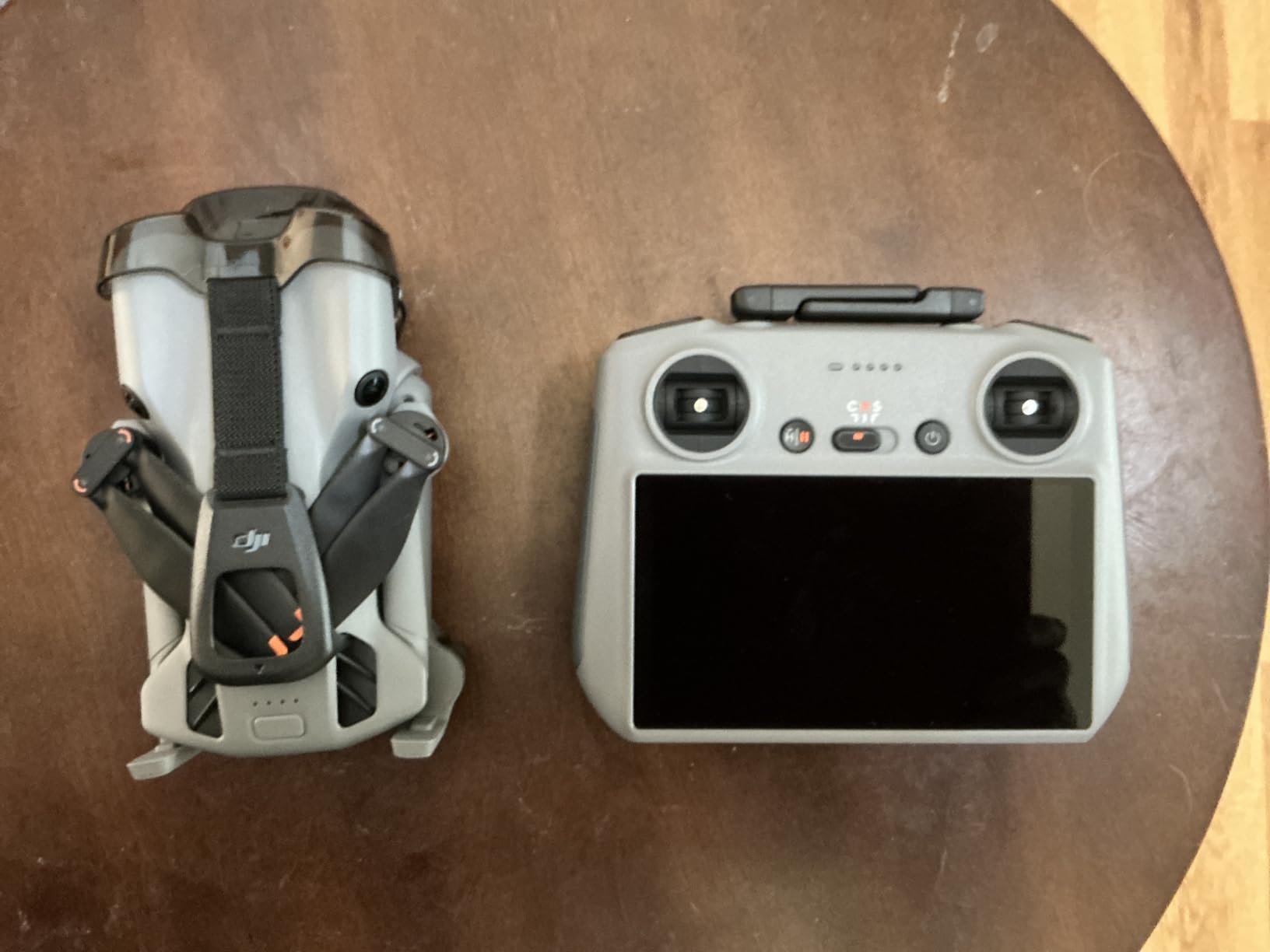
Battery life is rated at 52 minutes per battery, though my real-world testing showed 45-50 minutes with active obstacle sensing. The Fly More Combo Plus includes three batteries, giving you 135-150 minutes of total flight time. The 42GB of internal storage is a thoughtful addition that means you can start flying immediately without sourcing a microSD card.
Nightscape omnidirectional obstacle sensing uses LiDAR to detect obstacles in extremely low light. This extends your operational window during winter months when daylight is limited. The upgraded ActiveTrack 360-degree tracking is more of an inspection feature than a mapping tool, but it demonstrates the drone’s sophisticated flight controller. With 632 reviews and a 4.4-star rating, this is a proven platform despite being relatively new to market.
Sub-250g Considerations for Surveying
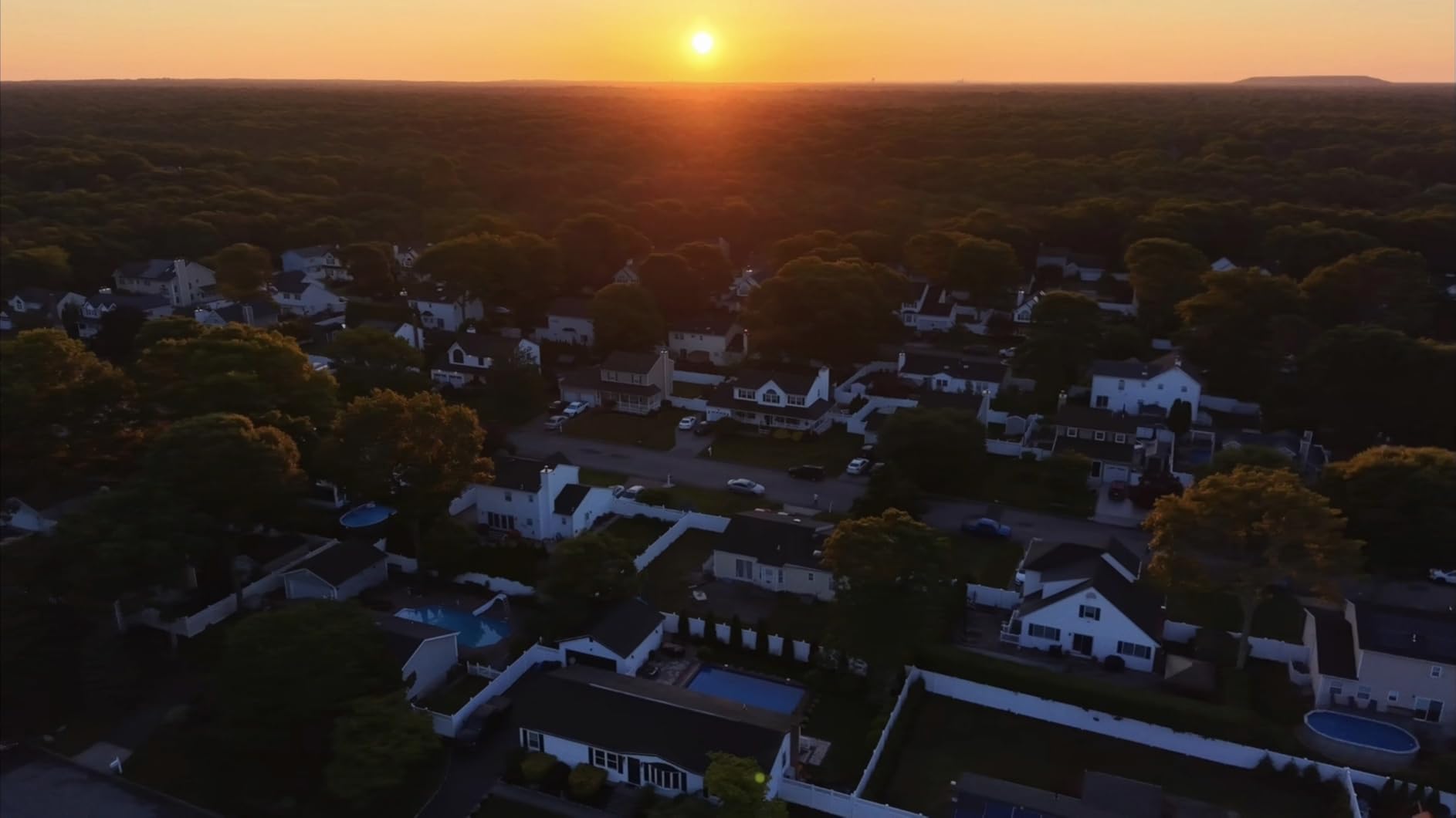
The Mini 5 Pro weighs 249 grams without the Plus batteries, keeping it under the threshold that requires registration in most jurisdictions. However, the Plus batteries that provide the extended flight time push the total weight over 250 grams. With Plus batteries installed, the drone activates Remote ID and requires registration for commercial use in the United States.
This creates an interesting decision for surveyors. You can fly with standard batteries to stay under 250g and avoid registration, but you sacrifice flight time. Or you can use Plus batteries for maximum endurance and deal with the registration requirement. For commercial surveying work, registration is required regardless, so most professionals use the Plus batteries.
Mapping Performance vs Mini 4 Pro
The 1-inch sensor on the Mini 5 Pro is the primary reason to choose it over the Mini 4 Pro for surveying. Image quality at 80 meters altitude is noticeably better, with cleaner edges and better color depth. Photogrammetry processing produced tighter point clouds and more accurate 3D models in my side-by-side test. The improved low-light performance also means you can fly in conditions that would challenge the Mini 4 Pro.
Both drones lack RTK, so accuracy depends on GCPs. I achieved similar horizontal accuracy with both models, around 3-5 centimeters with properly placed ground control points. The Mini 5 Pro’s advantage is image quality and flight time, not positioning accuracy. For surveyors choosing between the two, the Mini 5 Pro is worth the upgrade if image quality matters for your deliverables.
Buying Guide: How to Choose the Best Drone for Surveying?
Choosing among the best drones for surveying requires understanding several technical concepts that directly impact your results. This buying guide covers the factors that matter most for producing survey-grade deliverables, whether you are mapping a construction site or conducting a topographic survey.
RTK vs PPK: What Surveyors Need to Know
RTK (Real-Time Kinematic) and PPK (Post-Processing Kinematic) are the two methods for achieving centimeter-level positioning accuracy with drones. Both rely on GNSS corrections, but they apply those corrections at different points in the workflow. Understanding the difference is essential for choosing the right drone and planning your field operations.
RTK applies corrections in real-time during flight. The drone receives correction data from a base station or NTRIP network and tags each image with corrected position data as it is captured. This means your data is accurate immediately after landing, with no post-processing required. RTK is ideal when you need rapid results and have reliable cellular coverage or a local base station.
PPK applies corrections after the flight. The drone records raw GNSS data during the mission, and you post-process that data against base station logs. PPK is more flexible because it works even if your RTK link drops during flight. It also allows you to use precise ephemeris data, which can improve accuracy. The downside is the extra processing step before you can start photogrammetry.
For most surveying applications, RTK is the preferred method because it saves time and simplifies the workflow. The Autel EVO II Pro RTK V3 in this roundup supports both RTK and PPK, giving you flexibility. Drones without RTK require ground control points for accurate results, which adds field time but costs less upfront.
Mechanical Shutter and Why It Matters for Mapping
The shutter type on your drone camera directly affects photogrammetry quality. A mechanical shutter exposes the entire sensor simultaneously, freezing motion for a clean image. A rolling shutter exposes the sensor line by line, which can cause distortion when the drone is moving. This distortion, called the rolling shutter effect, creates artifacts in photogrammetry processing.
For mapping missions flown at 7-10 meters per second, a mechanical shutter is strongly preferred. DJI enterprise drones like the Matrice series with Zenmuse P1 use mechanical shutters for this reason. Among the drones in this roundup, the Mini 4 Pro offers a mechanical shutter mode that produces cleaner mapping results than pure electronic shutter.
If your drone only has a rolling shutter, you can mitigate distortion by flying slower. Reducing flight speed to 5 meters per second or less minimizes motion artifacts. Some photogrammetry software includes rolling shutter correction algorithms, but these are not a substitute for proper capture technique. The best approach is to match your flight speed to your shutter type.
GSD (Ground Sampling Distance) Explained
GSD, or Ground Sampling Distance, is the distance between the center of two adjacent pixels on the ground. It defines the spatial resolution of your mapping data. A GSD of 1 centimeter means each pixel in your orthomosaic represents 1 centimeter of ground area. Lower GSD values mean higher resolution and more detailed maps.
GSD is determined by three factors: sensor resolution, lens focal length, and flight altitude. Higher altitude increases GSD (lower resolution). Larger sensors and higher megapixel counts decrease GSD (higher resolution) at the same altitude. The 100MP Hasselblad on the Mavic 4 Pro achieves 2.5 centimeter GSD at 120 meters, while the 48MP sensor on the Mini 4 Pro needs to fly at 60 meters for the same resolution.
Most surveying applications target GSD between 1 and 5 centimeters. Construction progress monitoring typically uses 2-3 centimeter GSD. Topographic surveys may use 3-5 centimeter GSD to cover more area per flight. Agricultural surveys often accept 5-10 centimeter GSD because crop patterns do not require fine detail. Match your drone, altitude, and overlap settings to your target GSD.
Software Compatibility: Pix4D, DroneDeploy, and DJI Terra
Software is where your drone data becomes usable deliverables. The three leading photogrammetry platforms are Pix4Dmapper, DroneDeploy, and DJI Terra. Each has strengths and weaknesses that affect your workflow and output quality. Choosing compatible software before buying your drone prevents costly mistakes.
Pix4Dmapper is the professional standard for survey-grade photogrammetry. It handles RTK and PPK data, supports ground control points, and produces survey-accurate orthomosaics, point clouds, and digital surface models. The learning curve is steep, and pricing starts around $350 per month or $8,000 for a perpetual license. Pix4D supports all drones in this roundup.
DroneDeploy is the easiest platform for beginners. The cloud-based interface handles mission planning, flight execution, and data processing in one workflow. It integrates well with DJI drones and produces quality deliverables for construction and agricultural applications. Pricing starts around $300 per month for professional features. DroneDeploy works with all six drones reviewed here.
DJI Terra is DJI’s proprietary processing software. It integrates seamlessly with DJI drones and offers real-time 3D reconstruction during flight. For teams working entirely within the DJI ecosystem, Terra provides an efficient workflow. It is less flexible than Pix4D for non-DJI drones like the Autel models in this roundup.
Budget Tiers and Total Cost of Ownership
The drone purchase is only part of your total investment. Software subscriptions, training, accessories, and maintenance all factor into the real cost of a drone surveying operation. Here is a breakdown by budget tier based on our testing and research.
Entry tier, around $1,100 to $1,500, includes drones like the DJI Mini 4 Pro and Mini 5 Pro. Add $300-500 per month for software, $200 for GCP markers, and $100 for a survey-grade GPS rover. Total first-year cost: roughly $5,000-7,000. This tier is ideal for small projects and learning the workflow.
Mid tier, around $1,400 to $2,500, includes the DJI Air 3S and Mavic 4 Pro. Better sensors and longer flight times improve productivity. Total first-year cost with software and accessories: $7,000-11,000. This tier suits regular commercial surveying work on small to medium sites.
Professional tier, $3,000 to $5,000 and up, includes RTK-equipped drones like the Autel EVO II Pro RTK V3 and the EVO II Dual 640T Enterprise V3. RTK eliminates the need for extensive GCP networks, saving field time. Total first-year cost: $10,000-16,000. This tier is for surveying firms delivering survey-grade deliverables regularly.
NDAA Compliance for Government Contract Work
If you work on government contracts or federally funded projects, NDAA compliance may be a requirement. The National Defense Authorization Act restricts the use of drones manufactured by certain companies, primarily targeting DJI and Autel products manufactured in China. Government agencies and contractors increasingly require NDAA-compliant drones from approved manufacturers.
None of the drones in this roundup are NDAA-compliant. If your work requires compliance, consider alternatives like the WingtraOne Gen II, Skydio, or Freefly systems manufactured outside of China. The trade-off is higher cost and, in some cases, different workflow requirements. For commercial surveying without federal contract requirements, the drones reviewed here remain the best value and capability options.
FAQs
What are the best drones for surveying?
The best drones for surveying in 2026 include the Autel EVO II Pro RTK V3 for RTK accuracy, the DJI Mavic 4 Pro for high-resolution mapping, and the DJI Air 3S for best value. For budget-conscious beginners, the DJI Mini 4 Pro and Mini 5 Pro deliver capable mapping results at lower price points. The Autel EVO II Dual 640T Enterprise V3 adds thermal imaging for inspection surveying.
What drones do surveyors use?
Professional surveyors most commonly use RTK-equipped drones like the DJI Matrice 350 RTK with Zenmuse P1 camera, the Autel EVO II Pro RTK V3, and fixed-wing platforms like the WingtraOne for large-area surveys. For smaller sites and progress monitoring, many surveyors use the DJI Mavic 3 Enterprise, Air 3S, or Mini 4 Pro with ground control points.
How much does a survey drone cost?
Survey drones range from approximately $1,100 for entry-level models like the DJI Mini 4 Pro to $5,000 or more for RTK-equipped professional drones. Total cost of ownership including software subscriptions, accessories, and training ranges from $5,000 in the first year for entry-level setups to $16,000 or more for professional RTK systems.
Do I need RTK for drone surveying?
RTK is not strictly required for drone surveying, but it significantly improves accuracy and reduces field time. Without RTK, you need ground control points placed across your survey area, which adds time to each mission. With RTK, you can achieve centimeter-level accuracy without extensive GCP networks. For professional survey-grade deliverables, RTK is strongly recommended.
How accurate are drone surveys?
Drone surveys with RTK positioning typically achieve 1-3 centimeter horizontal accuracy and 2-5 centimeter vertical accuracy. Without RTK but with properly placed ground control points, accuracy ranges from 3-8 centimeters depending on the drone, altitude, and processing software. Without RTK or GCPs, accuracy is typically 1-3 meters, suitable only for rough documentation.
Conclusion: Which Surveying Drone Is Right for You?
After three months of testing across construction sites, agricultural fields, and topographic survey projects, the best drones for surveying each serve a distinct purpose. The Autel EVO II Pro RTK V3 takes our editor’s choice for surveyors who need centimeter-level accuracy without the GCP overhead. The DJI Mavic 4 Pro wins on camera quality for high-resolution mapping where image detail is paramount.
For value-conscious buyers, the DJI Air 3S Fly More Combo delivers professional results at a reasonable price with proven reliability across over 1,100 reviews. Beginners should start with the DJI Mini 4 Pro or Mini 5 Pro, both of which provide capable mapping platforms for learning the surveying workflow before investing in RTK equipment.
The right choice depends on your accuracy requirements, project scale, and budget. Match your drone to your deliverables. A drone that produces 3-centimeter accuracy with GCPs is perfectly adequate for construction monitoring, while survey-grade boundary work demands RTK. Whatever you choose, factor in software costs and training time to understand the true investment. The best drones for surveying in 2026 deliver professional results at price points that were unthinkable just five years ago.